Photo credits: who took the photographs on agafay.info
These photo credits list all 28 photographs on agafay.info, taken by 16 photographers and published under free licences on Wikimedia Commons. Each card below gives the photographer, the licence with a link to its terms, the original file page and the pages of this guide where the photo appears. The pictures are cropped and resized for the site and shown with a light warm grade; nothing is added to them.
Every photograph, with its credit
-
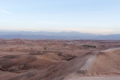
Red-brown hills of the Agafay Desert with the High Atlas hazy in the distance.
-
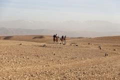
A camel string crossing the Agafay plain, with the High Atlas faint on the horizon.
-
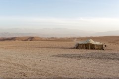
A single tent on the open stony ground of Agafay, with the Atlas range in the haze beyond.
-
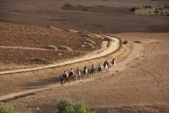
A camel caravan winding along a track through the stony desert near Agafay.
-
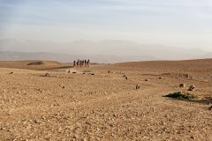
A line of camels and riders crossing the Agafay plain.
-
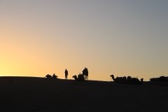
Camels and visitors in silhouette against the sunset in the desert outside Marrakech.
-
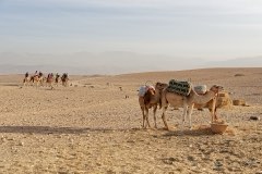
Resting dromedaries in the foreground, with a group of riders on camels behind.
-
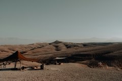
A dark Berber-style tent and low seating under a canopy on the stony slopes of Agafay.
-
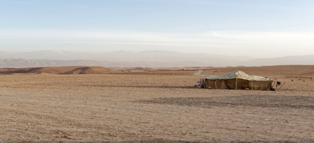
A canvas tent standing alone on the stony ground of Agafay.
-
Stony hills and a dirt track in the Agafay Desert, with the High Atlas on the horizon.
-
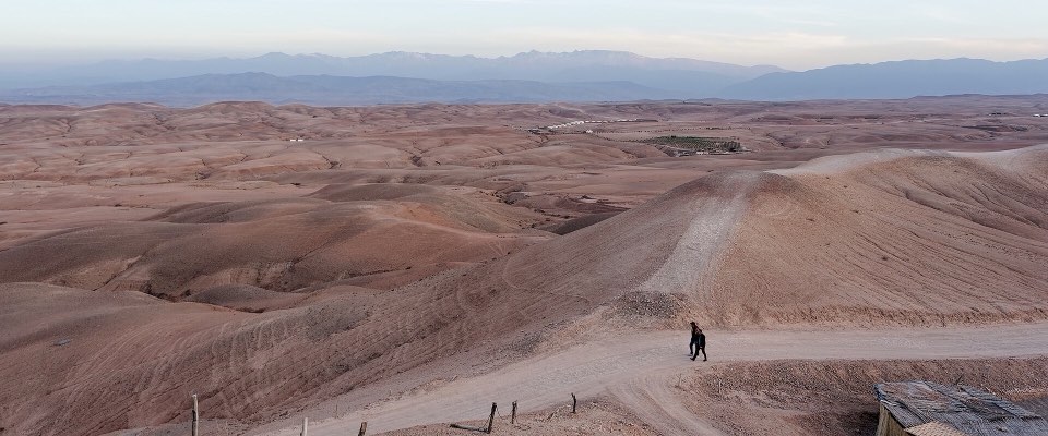
Eroded ridges and tracks across the stony ground of the Agafay Desert.
-
Stony ground and a dirt track leading across the Agafay plateau.
-
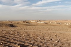
Wide view across the stony Agafay plateau at the end of the day.
-
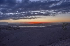
Sunset over the stony desert near Agafay under a broken sky.
-
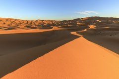
Sand dunes of Erg Chebbi near Merzouga in the evening. Agafay is stony, not sandy.
-
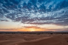
Sunset over the flat edge of Erg Chebbi near Merzouga.
-
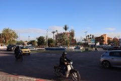
A busy street junction in Guéliz, the modern district of Marrakech.
-
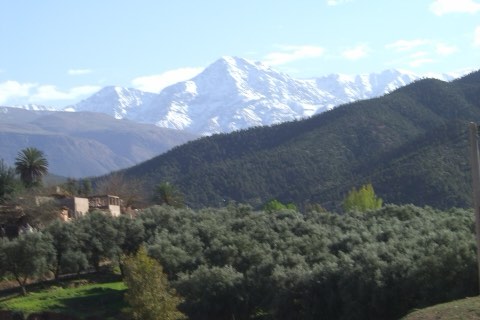
The snow-capped High Atlas seen from the Ourika Valley.
-
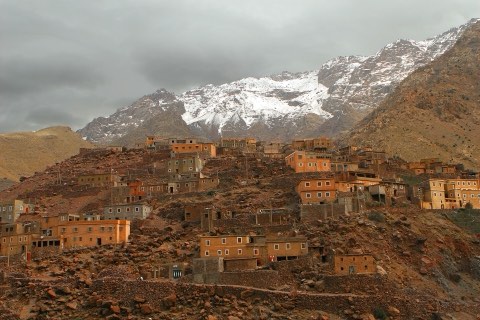
A hillside village of earthen houses below the snow-covered High Atlas.
-
The stalls of Jemaa el-Fna by day, seen from above.
-
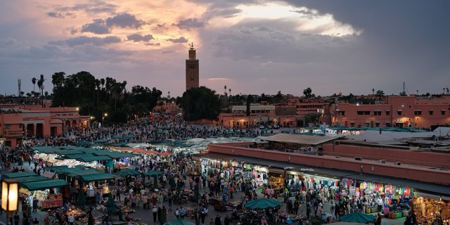
Jemaa el-Fna at sunset as the food stalls open, with the Koutoubia minaret in the distance.
-
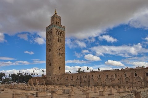
The Koutoubia minaret rising above the ruins of the old mosque.
-
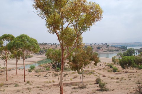
Eucalyptus trees on the shore of the Lalla Takerkoust reservoir.
-
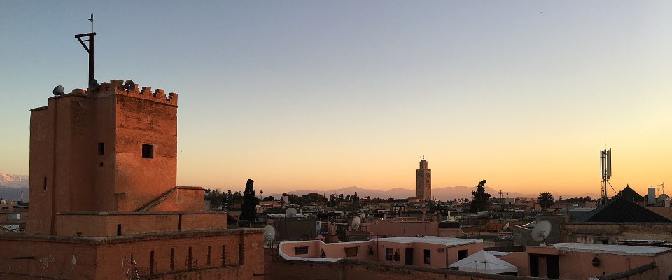
Rooftops of the Mouassine quarter at sunset, with the Mouassine minaret on the left.
-
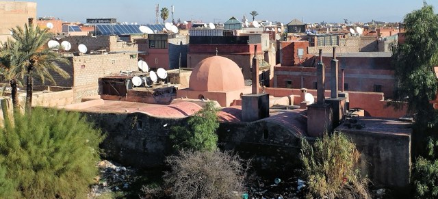
Terracotta rooftops, satellite dishes and palms across the Marrakech medina.
-
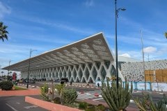
The patterned white canopy of Terminal 1 at Marrakech Menara Airport.
-
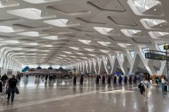
The arrivals hall of Terminal 1 at Marrakech Menara Airport.
-
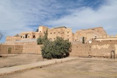
The earthen walls of the Kasbah of Tameslouht.


The licences
Every licence below allows reuse of the photo, each with its own conditions, set out on the licence page it links to. All but a public-domain dedication ask that the photographer and the licence are named, as on each card above; the share-alike licences (CC BY-SA 4.0, CC BY-SA 2.0, CC BY-SA 3.0) also ask that an edited version is shared under the same licence, which is why the crops on this site carry the original's licence.
To reuse a photo, take it from its file page and follow that photo's licence. The terms of use cover the guide's own text and drawings, not the photographs.
- 11 CC BY 4.0
- 10 CC BY-SA 4.0
- 2 CC BY 2.0
- 2 CC BY-SA 2.0
- 2 CC BY-SA 3.0
- 1 CC0
Maps and drawings
Everything on the guide that is not a photograph, such as the maps, the timelines and the diagrams, is drawn for this site. Maps drawn from OpenStreetMap data carry "© OpenStreetMap contributors" beside them. Where no free photo shows a place as it is, a page uses a drawing instead, as the about page does.
A credit wrong or missing?
If you took one of these photographs and the credit is wrong, or a photo is shown somewhere it should not be, write through the contact page with the file page link. Return to the home page.